• Satellite Services

    Satellite Services

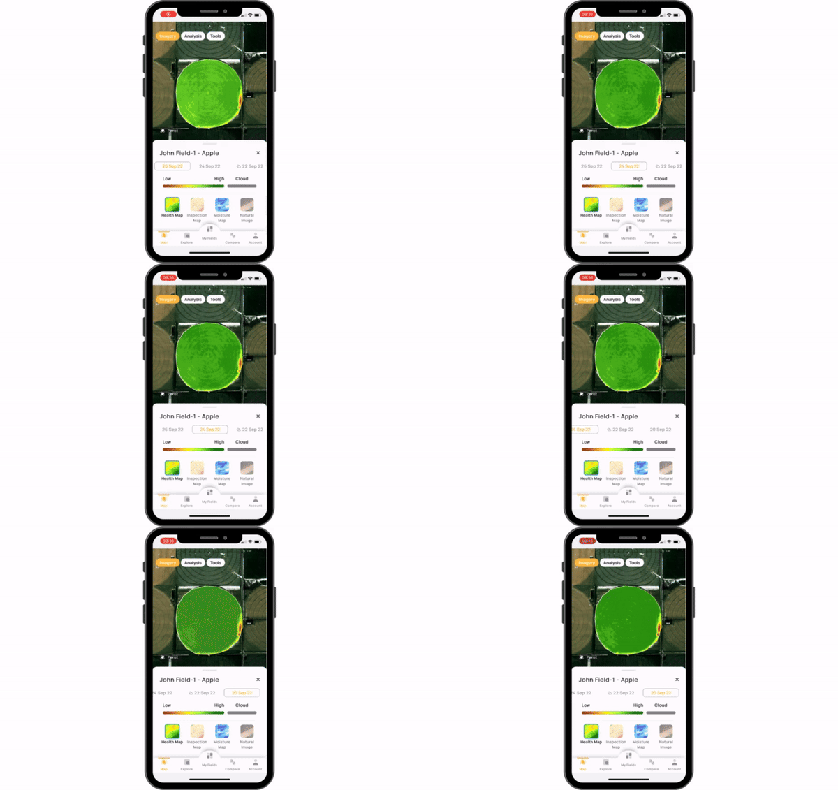
    As the backbone of precision farming, our satellite services incorporate remote sensing technology, NDVI data, and artificial intelligence. These services allow users to monitor the health and growth of crops and automatically identify problematic areas.

    Satellite Services
  • Satellite Services IconSatellite Services
    Plant Health and Growth Tracking

    Monitor crop health and growth and automatically identify problematic areas.

    Plant Water Stress Map

    Display field and plant humidity levels and highlight areas with water shortage.

    Automatic Problematic Spot Detection

    Identifies low NDVI regions in satellite images on the Health Map and notifies about problematic areas in the field.

    What Grows in Our Region?

    Display which crop grows in each field in a given region.

    Field Comparison

    Compare yield potentials between different fields.

    Variable Rate Application

    Apply variable rates of fertilization to optimize input usage.

How to purchase?

Contact us to choose the best API solutions for your business.