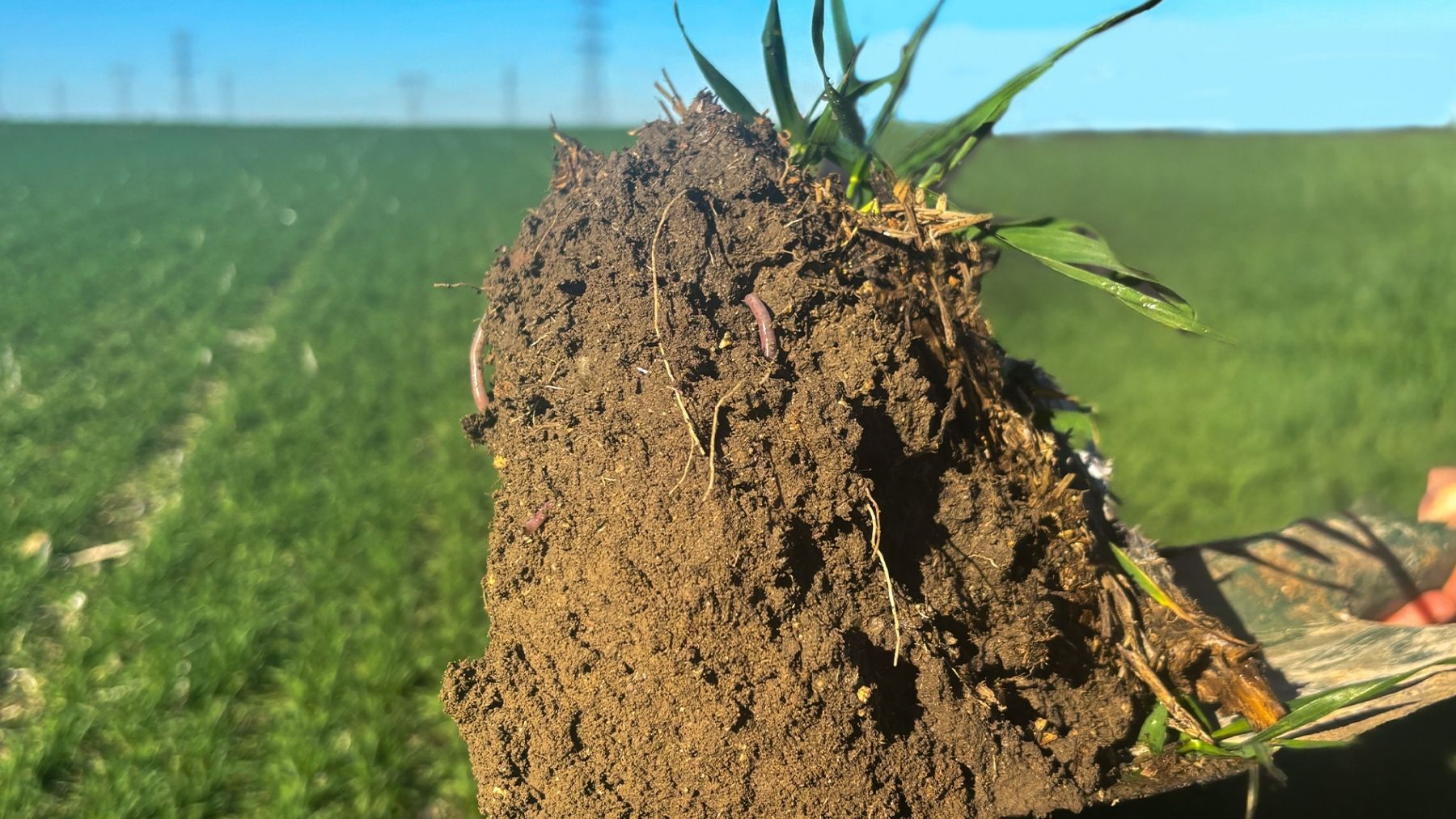
Landbouw vernieuwen via digitale transformatie

Understand your soil. Make every decision count. Turn field-level measurements into informed irrigation and input decisions, with soil sensors and satellite intelligence working together.

Landbouw vernieuwen via digitale transformatie

Understand your soil. Make every decision count. Turn field-level measurements into informed irrigation and input decisions, with soil sensors and satellite intelligence working together.

Doktar’s Holistische aanpak

Doktar’s
Holistische aanpak

Doktar zet veldgegevens om in auditklare duurzaamheidsimpact en meetbare efficiëntie op het bedrijf.
Technologie

Implementeer Doktar en partnertechnologieën om het veld te instrumenteren en gestandaardiseerde gegevens op schaal vast te leggen.

Technologie

Implementeer Doktar en partnertechnologieën om het veld te instrumenteren en gestandaardiseerde gegevens op schaal vast te leggen.

Digitale tweelingen

Zet die data om in een levende digitale tweeling voor elk veld, nauwkeurig en continu bijgewerkt.

Digitale tweelingen

Zet die data om in een levende digitale tweeling voor elk veld, nauwkeurig en continu bijgewerkt.

Know the baseline.
Know the baseline.
Sustainability & Efficiency

Onze duurzaamheidsimpact

Door alle belangrijke impactgebieden aan te pakken, creëert Doktar een holistisch model waarin geen enkel aspect van duurzaamheid over het hoofd wordt gezien.

Water

Water where it matters.

See where water is held and where it drains. Schedule irrigation around measured root-zone moisture, rather than the calendar. This supports more effective agricultural water management Spain needs under Mediterranean conditions.

Inputs

Stay ahead of soil stress.

Monitor moisture and, with the appropriate sensors, salinity indicators. Identify emerging stress and support more targeted input decisions.

Yield

Manage variability. Protect potential.

Identify differences within a parcel and manage zones individually, helping narrow the performance gap across the field.

Digital Soil Analysis Solutions Used in Spain

Two complementary layers: in-ground sensing for depth and satellite mapping for coverage and context.

By tackling all key impact areas, Doktar creates a holistic model where no aspect of sustainability is overlooked. 

Sensor-Based Monitoring for Mediterranean Soil Types

Mediterranean soils change in texture, drainage and water-holding capacity over short distances. FieldStation measures soil moisture and temperature at multiple sub-soil levels, alongside local weather conditions.

Depending on the configuration, additional readings include air temperature, relative humidity, precipitation, wind and light intensity — connecting soil conditions with the microclimate acting on them.

Soil moisture

Soil temperature

Microclimate

Satellite Soil Mapping Across Andalusia, Castilla and Valencia

For large or fragmented holdings across Andalusia, Castilla and Valencia, satellite-derived indices help identify spatial variability beyond individual monitoring points.

Combine this wider view with ground measurements to interpret field conditions, identify management zones and focus attention where it is needed.

Parcel-level context

Management zones

Onze duurzaamheidsimpact

Door alle belangrijke impactgebieden aan te pakken, creëert Doktar een holistisch model waarin geen enkel aspect van duurzaamheid over het hoofd wordt gezien.

01

Schedule irrigation with confidence

Use the measured root-zone moisture deficit to guide timing and volume during the dry season.

02

Direct inputs to the right zones

Apply resources where field data indicates they are needed, and avoid unnecessary inputs elsewhere.

03

Respond to stress earlier

Track moisture and relevant salinity measurements to spot changes before visible crop symptoms develop.
Veelgestelde
vragen

Which products benefit most from digital soil analysis in Spain?

How accurate is digital soil analysis compared to traditional laboratory tests

Is digital soil analysis available in all regions of Spain?

Start uw
digitale transformatie

Start uw
digitale transformatie

Start uw
digitale transformatie

Start uw
digitale transformatie